Rio Tinto Exploration Canada Inc. (RTX) is carrying out geological mapping and small-scale rock sampling to gather information about mineral potential at 5 locations on Tłı̨chǫ Lands. A helicopter will be used to access Tłı̨chǫ Lands.
-
Time: 4-6 days beginning September 13, 2022.
-
Purpose: The purpose of the sampling program is to look for mineral potential in the area.
-
Location: 5 sampling areas near Russell Lake, Mosher Lake, Strutt Lake, and Slemon Lake.
-
Access: by helicopter.
-
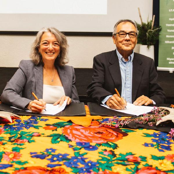
Approval: This work was recently approved by the Chief’s Executive Council. Permission is only for mapping and collecting approximately 100 small (5kg) rock samples on Tłı̨chǫ lands this fall, and does not include any other future work.
-
Conditions: RTX must follow rules in its Tłı̨chǫ Lands Access Agreement to protect the environment, wildlife, and important Tłı̨chǫ sites, and must not interfere with Tłı̨chǫ Citizens.
If you have any questions, please contact Robert Phillips at RTX, at [email protected] or the Tłı̨chǫ Government Department of Culture and Lands Protection at [email protected].


