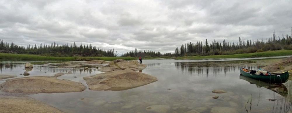
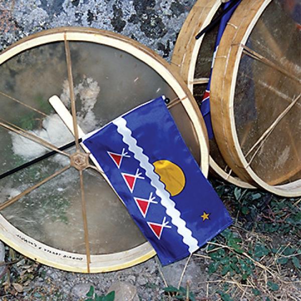
This history of the Rayrock Mine provides a historical and present-day context on the land of Kwetı̨ı̨ɂaà, located 145km northeast of Yellowknife, in the heart of the Tłı̨chǫ lands. Kwetı̨ı̨ɂaà was once a land used for hunting and harvesting. In 1957 it became a uranium mine site, named Rayrock. After just a few years of operation, the mine site shut down, with very little attention paid to clean up and reclamation. For decades the land has been impacted by the mine’s contaminants. Since the closure, Tłı̨chǫ citizens have expressed concerns about health and safety on the land. Remediation began in the late 1980s and continues. However, Tłı̨chǫ citizens continue to be uneasy about the use of the land.
This story map tells of the work of the Tłı̨chǫ Government to ensure the land is reclaimed, in partnership with the federal government. It gives a detailed explanation of the current avoidance zone, which is the region of the land that is currently deemed unsafe to use for traditional purposes by Tłı̨chǫ citizens. The story map includes site-specific details of remediation, and updates on the specific areas that are of most concern.
The goal for Kwetı̨ı̨ɂaà is to clean up the land to a point of which the elders and Tłı̨chǫ citizens feel comfortable to use it for its traditional purposes again. At that point, the land and its sites would revert back to traditional place names. Remediation will be on going until 2020, with post-closure monitoring continuing afterward. Remediation and monitoring will occur in a working partnership between the Tłı̨chǫ Government and CIRNAC. The Kwetı̨ı̨ɂaà Elders Committee and the Tłı̨chǫ Student Monitors will continue to play a key role in providing guidance and active participation in remediation activities and monitoring.


