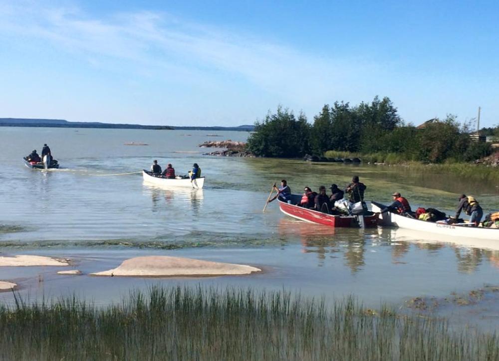
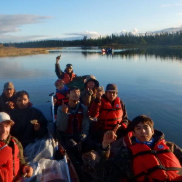
For three weeks in August, a group of 18 people in four canoes travelled the Mowhi trail. From Behchokǫ̀, to the barrenlands, and back to Wekweètì, we travelled 500 kilometres / 310 miles and over 60 portages. We started on Russel Lake and travelled in a northeast direction on the Wecho River before eventually entering Yellowknife River. Then onto a series of long narrow lakes and stream towards the barrenlands at Digatì (Grizzle Bear Lake). Once on the barrenlands we travelled to Kwiti, where we entered the Snare River system and followed the river downstream to Beatì (Winter Lake), back into the treeline and eventually to Wekweètì.
The route was well-used before the establishment of the communities, as people traveled from the secure fishing areas at Russell and Marian Lake in the summer, and towards their caribou hunting grounds on the barrenlands in the fall. For the last 70 years, only one group of canoes has completed the entire trail, and many important cultural sites can potentially be lost to time if we do not travel through and document the trail.
The purpose of the Reviving Trails project is to research and revive the network of traditional trails in the larger region of Tłįchǫ traditional territory. By reviving, we mean maintaining the network of traditional trails (before it literally grows in) and most importantly, it means documenting and teaching the stories and traditional knowledge of the cultural landscape along the route from elders to youth. Thus, maintaining the trail by reviving the language and oral traditions of the trail network in the collective knowledge of the people.
The trails were marked on maps by elders, who worked purely from memory. Once on the trail, we located the trail by a continuous search for former human habitation, as old cut marks on trees and remnants of old camps. Once the exact portage trails were located, new markers were made on the trees along the trails, new vegetation cut down, and the trails were photo documented and recorded by GPS.
Many sites, artifacts and stories of cultural importance were recorded. First, we documented the traditional place names, and the meaning behind these Tłı̨chǫ names. Many of these names refer to historical events and/or biogeographical features in the landscape. Second, we identified and documented numerous gravesites. As the Tłı̨chǫ have lived and travelled along the trails since time immemorial, numerous gravesites are located throughout the land. The gravesites were cleaned up, cleared of vegetation and a prayer was held at each site to commemorate and communicate with the inhabiting spirit. Currently, the gravesites are cleaned up, the surrounding vegetation is cleared and the locations are recorded in the geographical database of Tłı̨chǫ Government. The traditional knowledge we recorded on these trips is currently being entered into the database system of the Department of Culture and Lands Protection (DCLP).
Follow the journey taken on our Map Journal below or visit our Map Journal:


