Gowhahdǫǫ Gits’ǫ Etǫ Nıwheɂàa
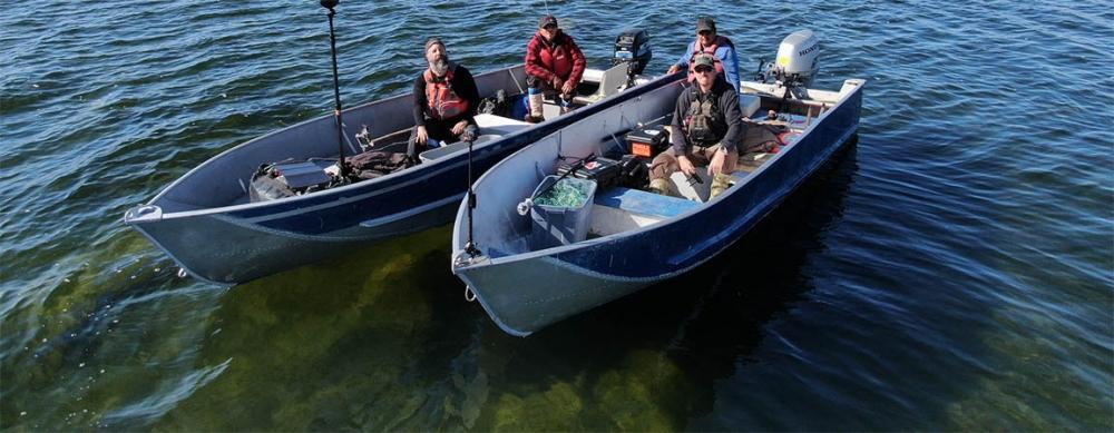
Filming is almost complete on the first ever Gowhahdǫǫ Gits’ǫ Etǫ Nıwheɂàa“See the Trails of our Ancestors”. The Department of Culture and Lands Protections has begun work on an ambitious new project to create a digital, interactive map of the Trails throughout the region. Film makers are using state of the art camera technology to film the trail between Whatı̀ and Behchokǫ̀. While the focus this year’s was on filming the area around Whatı̀, in coming years the project will move to each community. Film makers and local project staff are also interviewing Elders in Whatı̀ to gather stories about the significant sites around the community, the Whatı̀ falls and the big portage around the falls. Once the filming is complete, the footage will be sent to a digital design lab in Toronto where it will be made into a 3D interactive map. Imagine Google Street View but for the Tłı̨chǫ Trails. What’s more, as viewers ‘travel’ through the map, they will be prompted to visit significant sites where they will see videos of Elders telling stories about those places. This virtual legacy project will result in a powerful knowledge protection and teaching tool that can go on growing for years as more and more information is collected and added.
Quick Promo See the Trails of our Ancestors from Tlicho Government on Vimeo.
Paul Cressman
Program Development Officer
Tłı̨chǫ Government
Cell: 867-446-4215
